
Drawings directly on the map
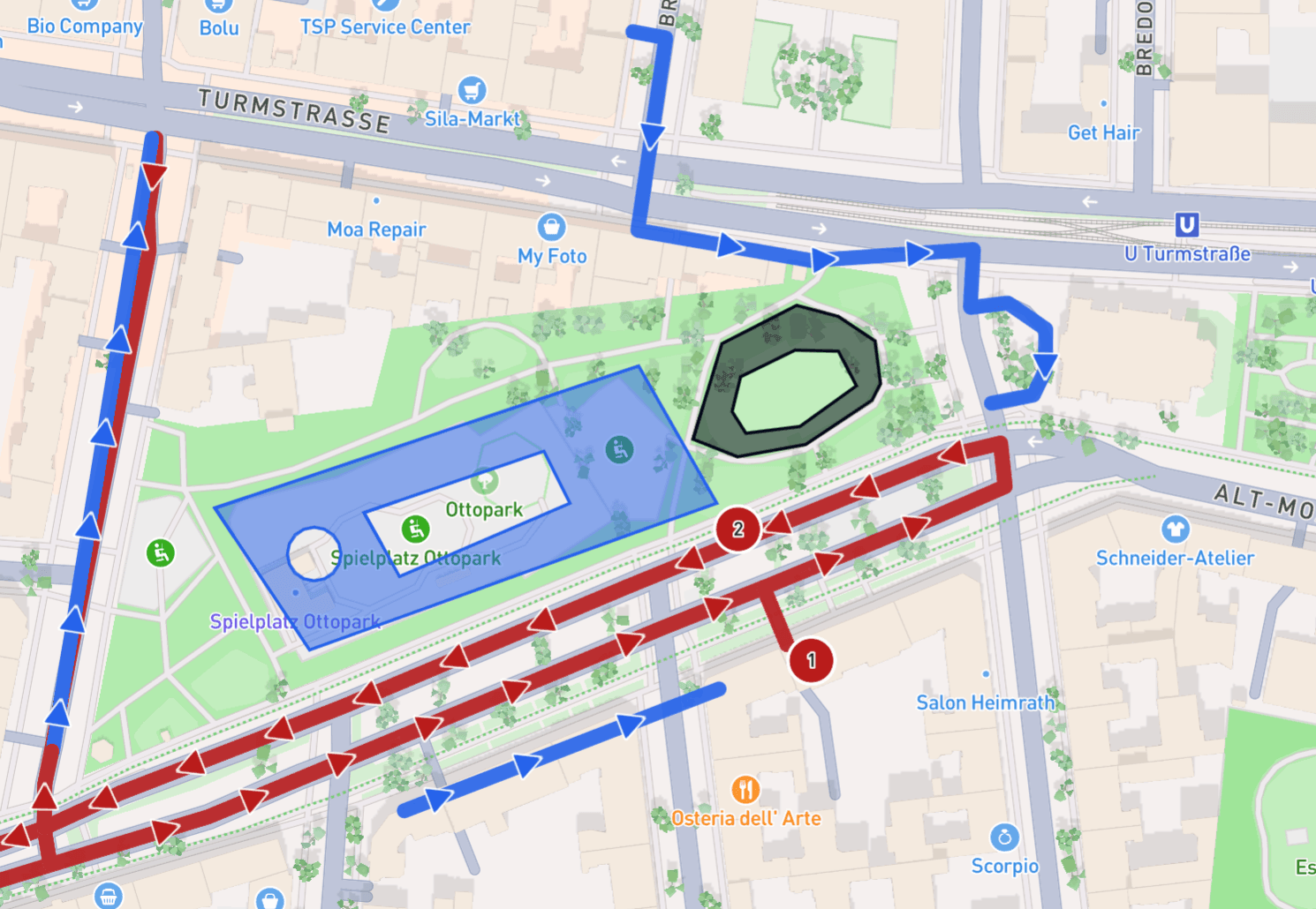
Draw polygons and lines directly onto the map. That lets you mark important places, areas, roads, access points and much more in colour.
All the drawings are shown in the mobile app as you approach, without you having to click anything.
You can also import the drawings and lines from other programmes, or export them from xRouten. Take a look at the guide, or get in touch if you need support.