
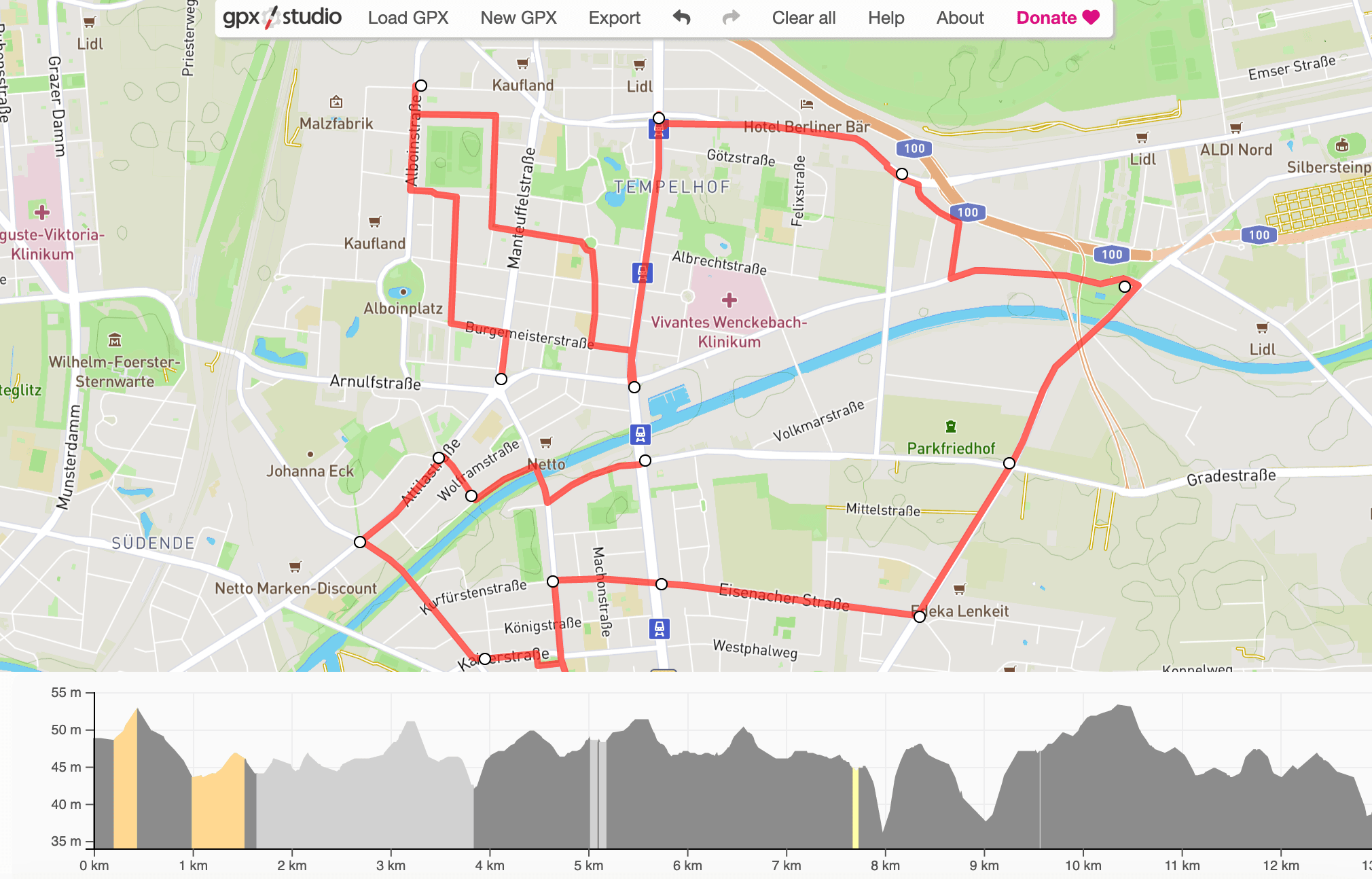
A GPX file is just a track — a list of points with a line through them — and almost every GPS device, fitness app and mapping tool can produce one. What none of them agree on is how to open one. The regular Google Maps app will not do it at all.
Google My Maps will, and it is free. Here is the whole process.
If you do not have a GPX file yet
Most likely you already do, exported from a GPS tracker, Strava, Garmin or something similar. If not, you can make one for free at gpx.studio — which is what we used for this guide. Save it somewhere on your computer and you are ready to import.
Import with Google My Maps
To get a GPX file onto a Google map, use the free "Google My Maps" tool. Same maps you are used to, with a lot more that you can do to them: import, save and edit GPX files among other things.
- Open Google My Maps.
- Sign in with your Google account.
- Click Create a new map.
You should now see a Google map, a search bar and a white panel on the left. Click Import in that panel.
A window opens that you can drag your GPX file into. Or click the blue Select a file from your device button in the same window. Besides GPX it will take Excel, CSV and KML.
As soon as the file is in, the import starts. If there is nothing wrong with the file, your route appears on the map.
Editing the route
Once it is imported you can change it:
- change the start and end addresses
- drag individual points to reshape the route
- change the route color
- change the line width
- add labels
- change the name and description
- attach images
Importing another one
You can import several GPX files and display them together — useful when you want to compare routes side by side:
- Click Add layer at the top left
- Then Import again
- Follow the same steps and import another GPX file
- Done
In My Maps each route gets its own layer, and you can have up to 10 layers. If you have more than 10 GPX files, just open My Maps again and start a second map. As above, every layer is configurable on its own and can be given its own color and comments to tell it apart from the rest.
See the GPX file on your phone
Your maps and layers save to your Google account and stay editable. Sign in to the Google Maps app on Android or iOS with the same account and your GPX files are there too:
- Open the Google Maps app on your phone.
- Check you are on the same Google account — tap the circle at the top right.
- Tap Saved in the bottom bar.
- Then Maps.
- All the maps you built in My Maps are listed. Pick the one holding your GPX files.
- Done
Sharing routes from a GPX file
To send a route to somebody — by email, text, whatever — click Share at the top left of Google My Maps and copy the link from the window that opens.
GPX files for snow removal, street sweeping and waste collection
If you are working with GPX files for snow removal, street cleaning, waste collection or anything like it, there is something better than this. Route planning that ends at "here is a line on a map" leaves the hard part — who drives it, in what order, and how you prove it happened — to paper.
With xRouten you draw the route, send it to a phone, drive it with navigation and have it documented automatically as it happens. Have a look at our guides, try it free and see for yourself.
Try xRouten free for 14 days
Try it now